Sessions

Use of Drones for bushfire mapping

The use of Unmanned Aerial Vehicles (UAVs or more simply Drones)  has increased in a wide variety of industries ranging from  construction, transportation, energy transmission and agriculture and have transformed how these industries operate.

In the Bushire Protection space, they can be used by BPAD practitioners in a number of ways to not only help them with their field assessments, but also keep important records of sites should circumstances in the future require investigation . This presentation will outline the range of options available, how they can be used effectively and efficiently to save costs and time for both BAL assessments and Bushfire Management Plans and Evacuation plans. Their constraints and future opportunities for integrating rapidly growing technology into site assessment and bushfire protection services.
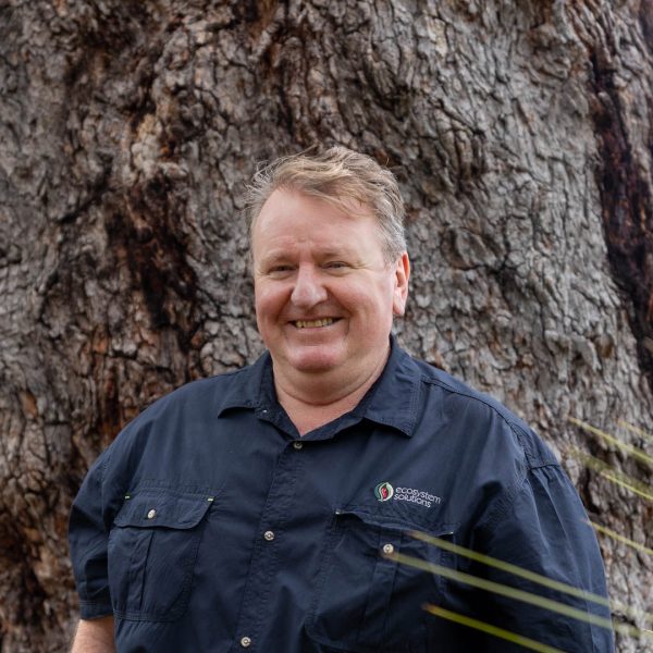
Gary Mc

Gary McMahon

Director, Ecosystem Solutions

  • Gary McMahon
  • Formed Ecosystem Solutions in Dunsborough WA in 2005
  • Previously worked with Parks and Wildlife for 10 years
  • Degree in Science, Masters in Ecology and Post Grad Degree in Bushfire Protection
  • Level 3 BPAD Practitioner for WA
  • Active Member of Dunsborough Volunteer Fire And Rescue since 2007
  • Accredited Bushfire Investigator with DFES and WAPOL Arson
  • Have a staff now of 5 all accredited BPAD practitioners and ecologists.
JasonMcF Profile

Jason McFadyen

Bushfire Technical Officer, FPA Australia

Jason has recently joined the team as Bushfire Technical Officer at FPA Australia. His previous experience includes on the ground involvement in large area bushfires, aerial bushfire mapping in the ACT and Tasmania, consulting and community engagement.